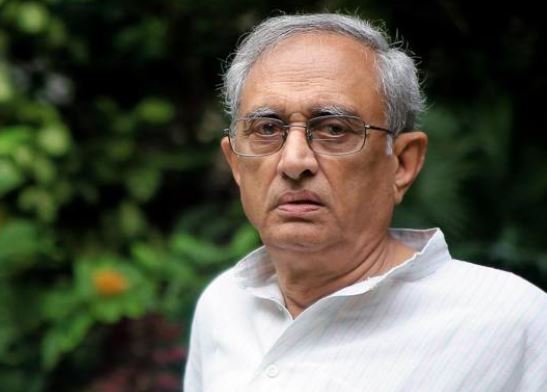
(EAS Sarma)
The VMRDA (Visakhapatnam Metropolitan Region Development Authority) Master Plan, once finalized, should have relevance for the next several decades to come.
In the earlier Master Plans, the database on the influx of migrant workers to the city, the reasons for the formation of the slums, the pattern of growth of the industrial units and their pollution impact, a realistic assessment of the water supply-demand patterns, etc. was woefully inadequate and as a result, the Master Plans became paper documents.
I am not sure whether the present draft suffers from such inadequacies. Before preparing the plan, detailed studies ought to have been commissioned to gather such information.
Kambalakonda Eco-Sensitive Zone
In this connection, I have enclosed here a copy of the Ministry of Environment, Forests & Climate Change (MEFCC) Notification S.O.No. 1366 dated 28-4-2017 in which an Eco-sensitive Zone had been notified comprising of an area of 30.51 square kilometers and including 14 villages of 2 Mandals viz. Anandapuram and Chinagadhili in Visakhapatnam District.
It is mandatory that the statutory requirements specified in the notification are enforced as a part of the Master Plan.
Kambalakonda sanctuary is located on the Kambalakonda Hill which forms a catchment area for the Mudasarlova reservoir which caters to the drinking water needs of the city.
In that context, in addition to the ecological importance of the sanctuary, it assumes importance as a source of supply of water.
In the midst of the Kambalakonda Reservoir, there is a man-made reservoir known as the Sambhuvanipalem Reservoir, which did not figure at all in the earlier Master plan. I hope that the new Master plan properly documents all such water bodies.
Local water reservoirs:
As per the previous Master Plan, the storage capacity of the local drinking water reservoirs (Meghadri Gedda, Mudasarlova, Raivada, Thatipudi, Gambheeram, etc.) has depleted to less than 40% of their design capacity, largely due to illegal layouts within the catchments and silt formation caused by a reduction in the tree cover in the catchments.
I hope that the Master Plan keeps this in view as it is less expensive to restore the local reservoirs to provide drinking water for the city, than incurring heavy expenditure on elusive long-distance projects such as Polavaram.
Groundwater resources:
The groundwater resources in the urban area of Vizag have come under severe stress either due to overexploitation or pollution. Indiscriminate construction of multi-storeyed buildings, which necessarily depend on groundwater, has been one reason for this. In addition, drawal of groundwater in the CRZ limits, though prohibited, has proliferated over the years, leading to salinity ingress into the aquifers. While demarcating the zonal plans, restrictions to conserve the groundwater resources and preserve their quality, need to be imposed.
Industrial pollution:
CPCB has identified the industrial cluster around Vizag as among the more heavily polluted clusters in India. This suggests the need for a cap on adding new industrial units. Also, the overall water supply-demand balance for Vizag, as per the last Master plan, is in a huge deficit. Adding new industrial units to the Vizag region would only accentuate that deficit.

CRZ
Vizag’s development is linked to the need to protect the coast and marine resources. The CRZ restrictions, spelled out from time to time, by the Hon’ble AP High Court in several judgments, need to be complied with.
From what I see in the draft, there is a proposal to develop a wide road corridor along the Vizag-Bheemili (and beyond) coast. There are judgments of the Hon’ble AP High Court that have imposed severe restrictions on such projects, especially from the point of view of CRZ, which need to be complied with.
Climate change & the likely seawater rise:
The Vizag coastal stretch is vulnerable to a rise in seawater levels in the coming decades, as evident from the study reports available from the intergovernmental Panel on Climate Change. This needs to be studied carefully and factored in. Cities like Boston have already started adapting their Master Plans to take such vulnerabilities into account.
Archaeological heritage:
I have enclosed the GOs in which Thotlakonda and Bavikonda archaeological sites were notified under the relevant Act, the orders of the Hon’ble AP High Court etc. which need to fully comply with the Master Plan.
Slum development:
The formation of the numerous slums in the city has taken place over several decades. One important reason for this is that the earlier Master Plans failed to recognize the fact that construction activity would need workers, who necessarily migrate from the adjacent rural areas to the city in search of livelihoods. Once engaged in such work, they rarely go back. As the Master Plans fail to capture this reality and fail to plan for settling them, the workers have settled close to the places where they earn their livelihoods, without access to the basic amenities Any slum rehabilitation plan that does not recognize this is bound to create more problems. Slum rehabilitation should necessarily be based on in situ rehabilitation unless the local bodies can create livelihoods for them at locations where they are rehabilitated. Past experience shows that the local bodies could not create such livelihood opportunities for displaced slum-dwellers. The new Master plan should take such an approach into account.
(from the letter addressed to the Commissioner, VMRDA, Visakhapatnam, Andhra Pradesh)